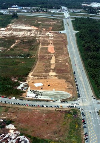
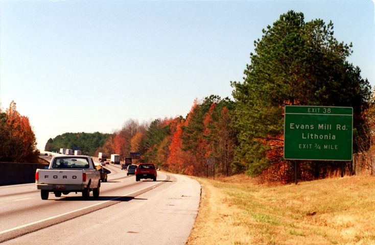
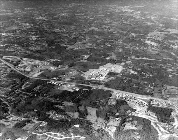
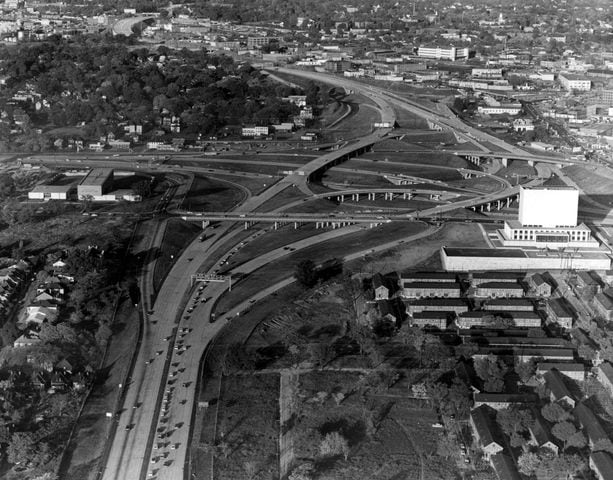
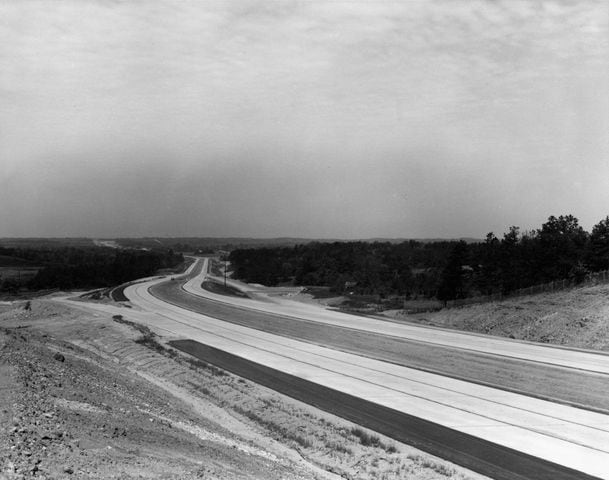
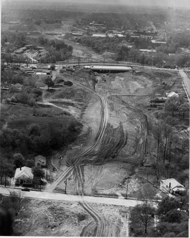
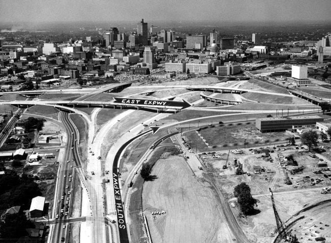
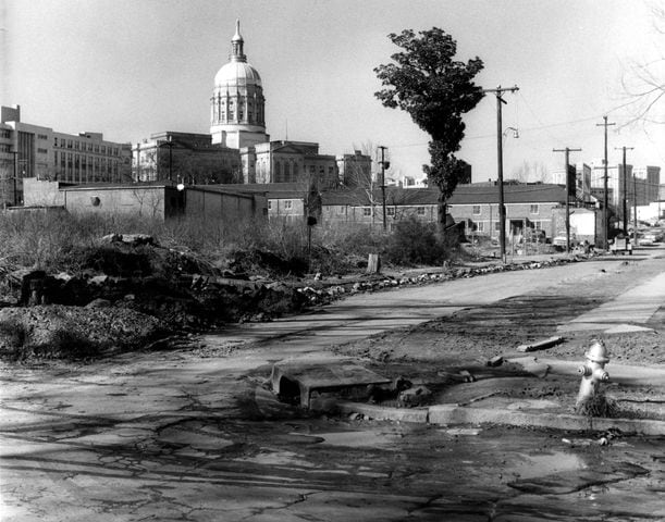
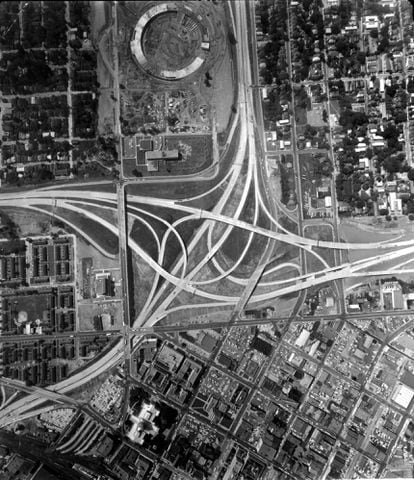
Flashback photos: I-20 through the years, 1960-1997


1 / 26
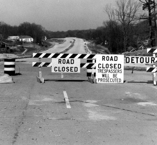
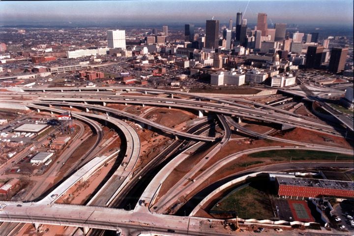
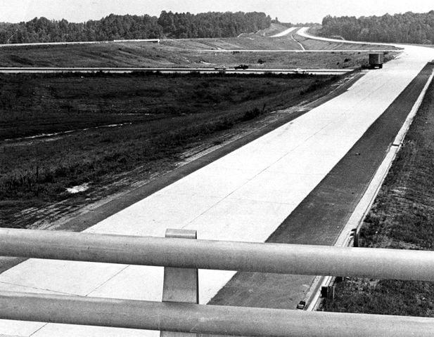
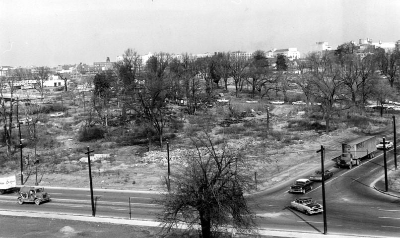
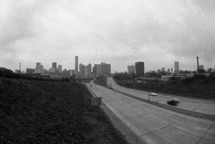
ATLANTA, GA -- Interstate 20, between Ashby and Peters Streets, facing west. Shoulder and median work are cited as the cause for traffic atery being kept closed. Road signs warn trespassers to stay away. (Bob Dendy/AJC staff) 1966